Taikang is a flat terrain with a port. A port, often times, is where the river meets the sea. Usually near the estuary, river flows converge and form wetlands. At the same time, however, the function of the port is also greatly influenced by the river flow rates, as well as the waves and tides along the coast. Some estuary ports can be limited by heavy silting in the winter, as the “Mountain and River Section” in Fongshan County’s General Records points out, “In the winter the port is silted by the sand flows, and in the spring or summer, the water flow contributed by great rainfall flushes open the silting sand so that the port can function again.” The waves of the river and the sea interacting with each other are indeed the most magnificent view in the estuary, where the story of centuries unfolds.
A study of the estuarine terrain in Southwestern Taiwan in 1995 indicates that in the summer when the river runoff is plenty, the tidal currents can flush away the silting sand in the estuary, and that in the winter, the water is not as plenty and the estuary is likely to be silted. In addition, there is another significant factor that influences the volume of sand silted in the estuary – the stormy tides brought about by typhoons. When typhoons strike, in areas where the estuary coast slope is relatively flat, there is often seawater intrusion which washes away the sand in the rivers, accelerating the rate at which the estuary alluvial fan moves west (into the sea). From 1904 to 1990, for example, the Zengwun River estuary has been extended for nearly 6 kilometers into the Taiwan Strait, moving an average of 70 meters per year. In other words, it is the Zengwun River that made a lot of land in Taikang come into being. The Zengwun River transported a great volume of sand through the vast estuary into the sea. The sand turned into offshore sandbanks and the sandbanks were later silted into wetlands near the estuary. These wetlands formed a flat terrain near the sea, a wide stretch of land with water and fertile soil. Thus, it is obvious that the Zengwun River helped the Taikang residents in a way, but it actually cost them a lot of mishaps as well…
Oh, the land of Taijiang, your mother the Zengwun River
The river’s estuary turned west from south, your watershed was changing forever
The locals had to leave home, they were downcast for this reason
Oh, the ample Zengwun River, you abound in water life in every season
You nurture many families and provide an environment of culture
The fertile land yields fruits and greens, and also the river sand from nature
The sand taken home, shacks built so we could sleep tight as ever
─“Mother, the Zengwun River” by Wang Jin-shu
In 1823, a flood changed the history of Taikang. The inner sea in places such as Chaitougang, Jhouzihwei, Sankandian, Dingciwun, Wan’gangkou and Jianliao was silted into floating sandbanks. The newly-formed sandbanks, a bit more than 10 kilometers wide east to west and a bit more than 20 kilometers long north to south, are where the Annan District and Jhengzihliao in the North District currently lie. As a con sequence, the terrain there became sloped so the old river course was no longer in existence. This brought about the disappearance of the cultivation business in offshore Taikang Inner Sea in places like Jhuojia, Hansi, Sigangzih, Jhihjianong, Ganliao, and Wan’gangkou. The affected area was about 18 kilometers long north to south. The efforts put in the cultivation business had lasted for almost a century (from 1755 on) but was destroyed due to the flood. The communities around the Inner Sea were thus faced with the pressure of transformation: residents (most of whom were fishermen or boatmen) had to change their lifelong career path. The newly-formed floating sandbanks were composed of an estimated total of 200,006,900 cubic meters of sand in volume. The rich sand washed downstream by the Zengwun River first formed the offshore sandbanks in Taikang, and these sandbanks were later silted into the Taikang tidal land.
We often hear the saying “Man can always conquer nature.” However, history has proven that there are limits to the extent that men should challenge nature. The Taikang people tried to claim land from the Inner Sea, but in the end, when Mother Nature fights back, the result of years of efforts vanished in a blink. That is exactly why we should respect and learn from nature and our environment. Humans must be humble and follow the principle of moderation. With this in mind, Taikang Watershed Center was established and it now helps promote the following events/networks:
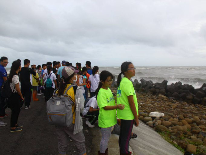
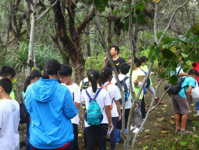
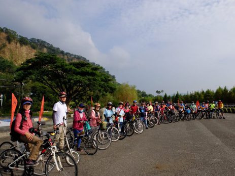
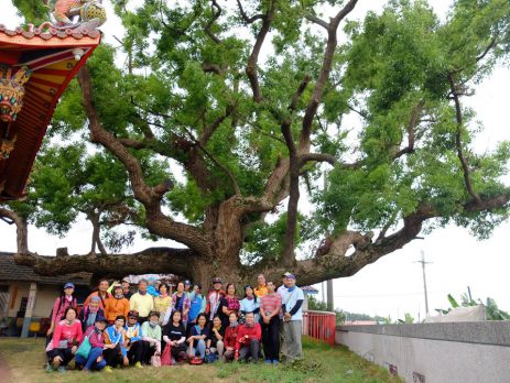
The following are the major events or documents organized (or compiled) by the Taikang Watershed Center:
*source:
*photos provided by Taijiang Campus, Tainan Community University